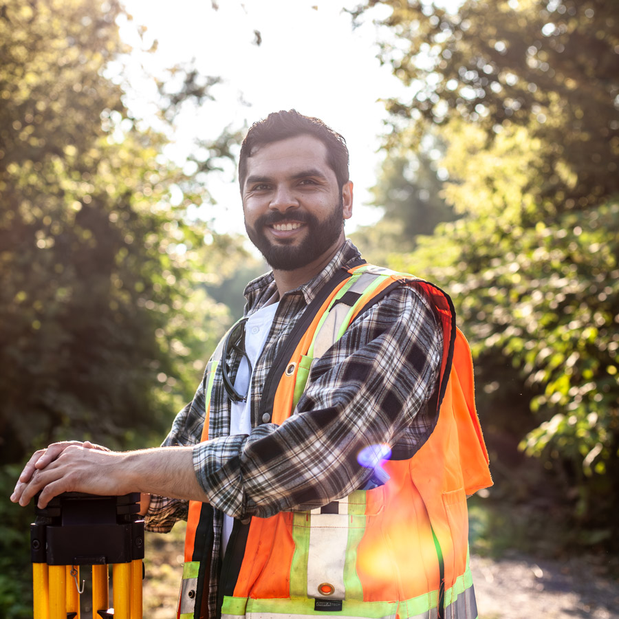
We are uniquely qualified and licensed to serve customers across Ontario, from the most remote areas of Northern Ontario to the southern tip of the province. Avant Garde Geomatics is conveniently located in Sudbury and Kingston making us intimately familiar with work across Norther Ontario and Eastern Ontario
About Us
Our Services
Our Service Areas
We've got Ontario covered
Highest Standards
Leading Experts
Client-Focused Approach
Competitive Pricing

“Juzer at Avant Garde Geomatics was easy to speak with, and was generous with his expertise! It was a breeze to schedule the work, and I was kept up-to-date on all the steps being taken. I would recommend him to anyone without hesitation”

Highly, Highly recommend. Any survey company can do surveys. But it’s super rare to find one who will go above and beyond for you, just because it’s the right thing to do. Seriously amazing service.”
Services
Who we are and what we do.
We pride ourselves on staying on the cutting-edge so that we can leverage emerging technologies to serve our community. We deliver a holistic and tailored surveying services to our clients across Ontario.
Our Process
01
Research and Planning
Before any fieldwork begins, we conduct a thorough review of property records, legal documents, historical maps, and municipal regulations. We utilize GIS data and digital resources to anticipate challenges and streamline the surveying process. This proactive approach minimizes risks and ensures precise results.
02
High-Precision Data Collection
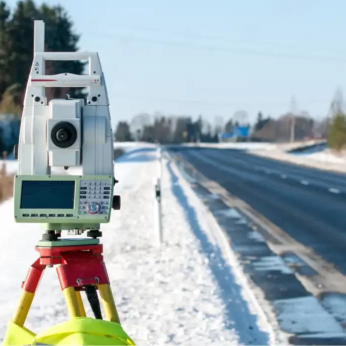
Using state-of-the-art equipment such as GNSS (Global Navigation Satellite Systems), LiDAR, drones, and robotic total stations, we capture detailed and highly accurate land measurements.
03
Data Analysis and Mapping
Once field data is collected, surveyors process and analyze the information using CAD (Computer-Aided Design) software and GIS (Geographic Information Systems).
04
Client-Centric Reporting & Delivery
The final phase focuses on delivering clear, actionable survey reports tailored to the client’s needs. Our goal is to simplify complex surveying challenges.
From our blog
The process begins with helping us understand your needs. Please get in touch via phone or email to schedule a free consultation.


